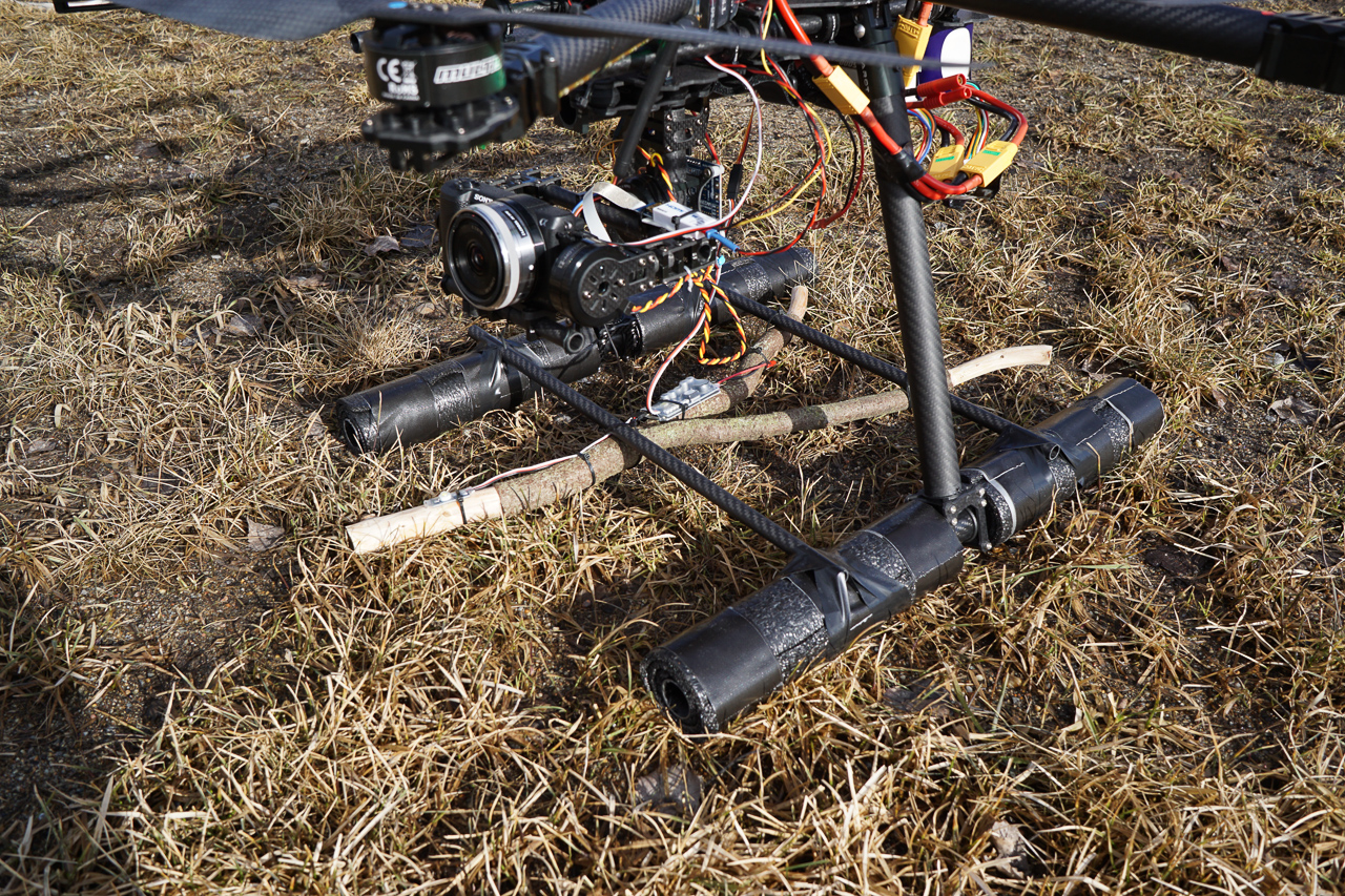
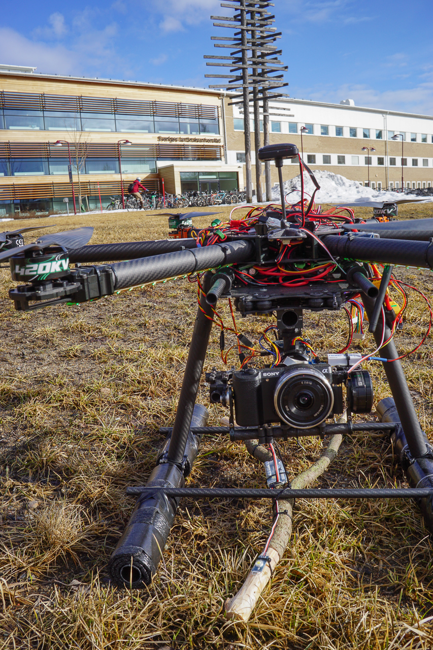
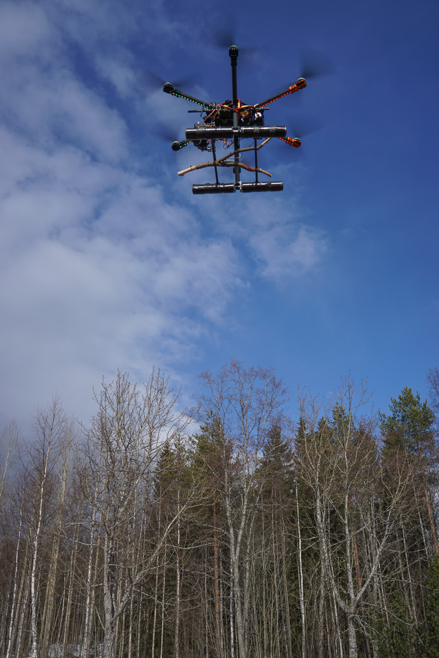
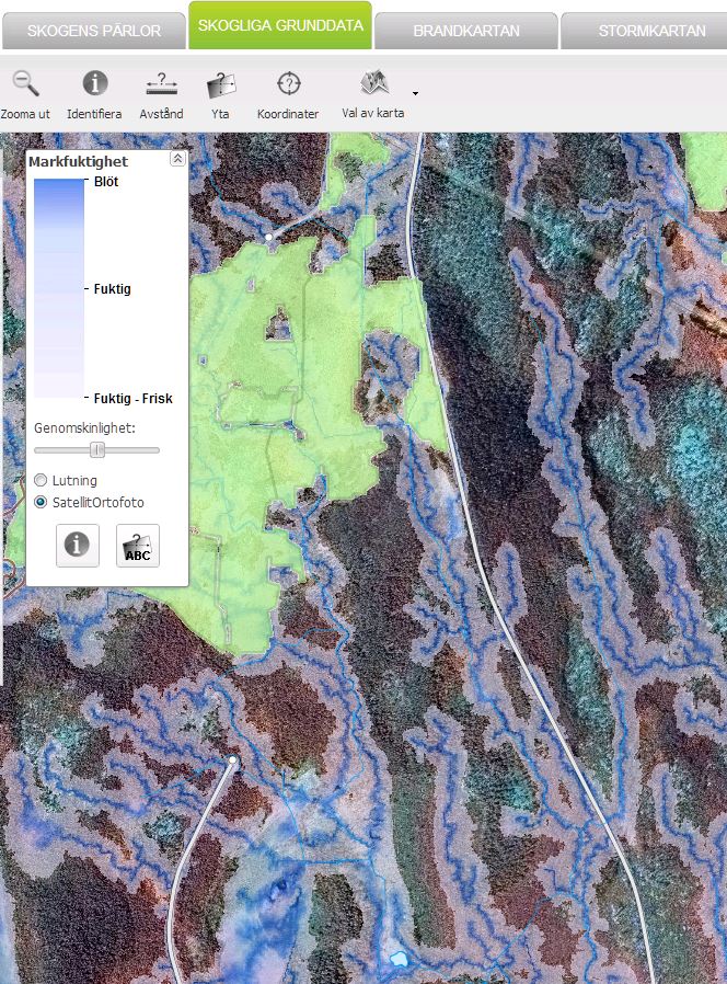
At the Ljungberg laboratory, we have started a project where we combine the traditional dowsing rod with latest drone technology. The goal is to improve the existing and important Depth to Water Map available online. At the Ljungberg lab, a teaching lab for advanced 3D remote sensing, we always aim to make a wide range of sensors available for our students – this project is a bold step in that direction.
[Swedish] I Ljungberglaboratoriet har vi startat ett projekt där vi kombinerar den traditionella och länge använda slagrutan med senaste drönar-teknik. Målet är att förbättra den befintliga och viktiga fuktighetskartan som finns på nätet. I Ljungberglabbet, ett undervisninglaboratorium för avancerad 3D fjärranalys, strävar vi alltid efter att ha ett stort antal sensorer tillgängliga för våra studenter och det här projektet är i linje med detta.
Edit 2016-04-04: