
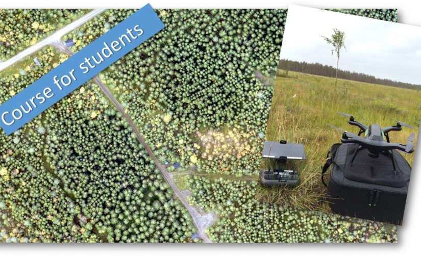
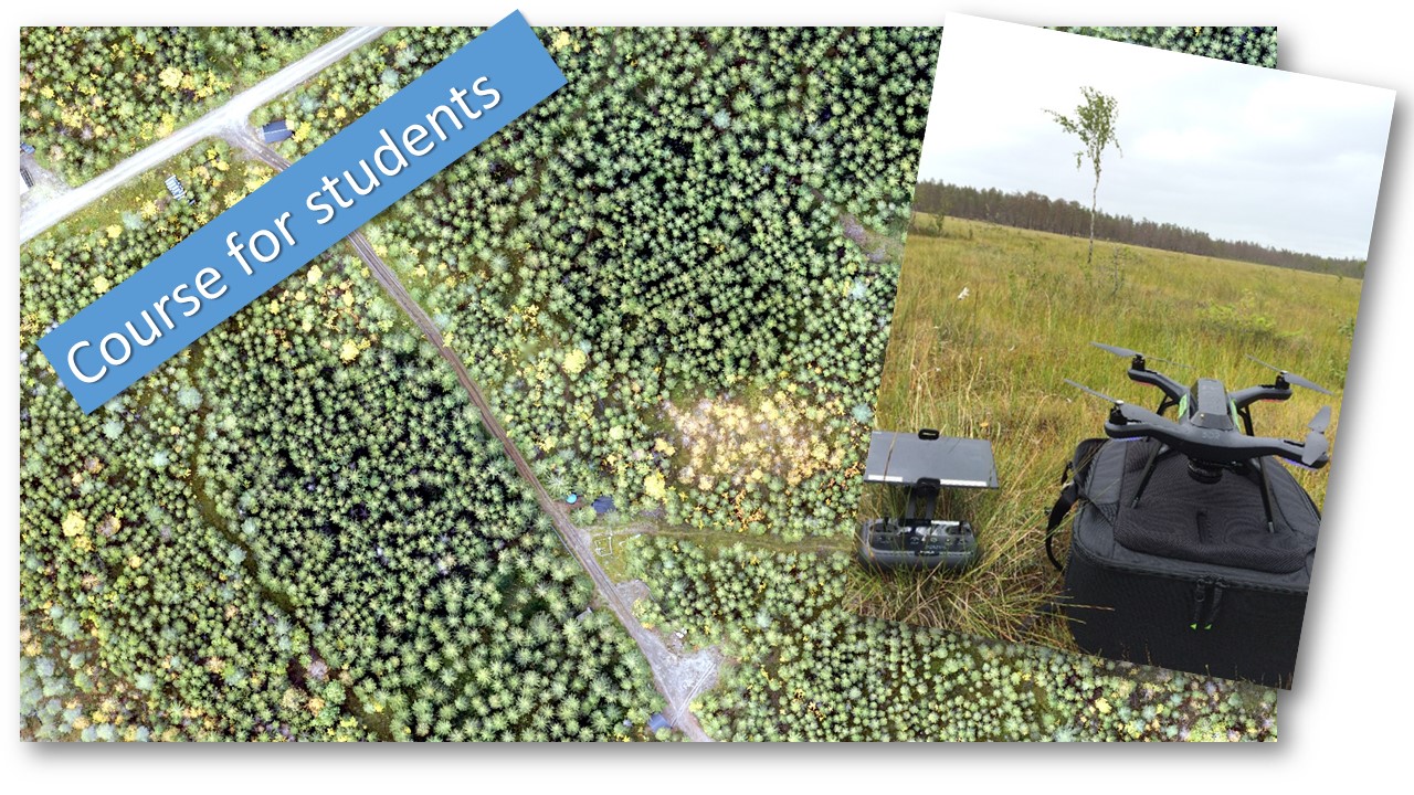
 The course aim is to provide students with knowledge how to conduct drone based image acquisition and forest inventory. An introduction will be given on drone systems and regulations as well as practical knowledge on how to operate drones to acquire images for mapping. The first part will focus on getting the images. The second part of the course, in the autumn, will be on data processing to get ortho-mosaics, 3D models and extract forest information.
Schedule:
Wednesday 23th of May, 13 – 16 p.m. Drone and camera systems and regulations. In the Ljungberg lab.
Wednesday 30th of May, 12.30 – 17 p.m. Field trip to fly drones and acquire images.
Applications to the course should be sent to jonas.bohlin@slu.se latest on May 21st. The amount of students on the course is limited.