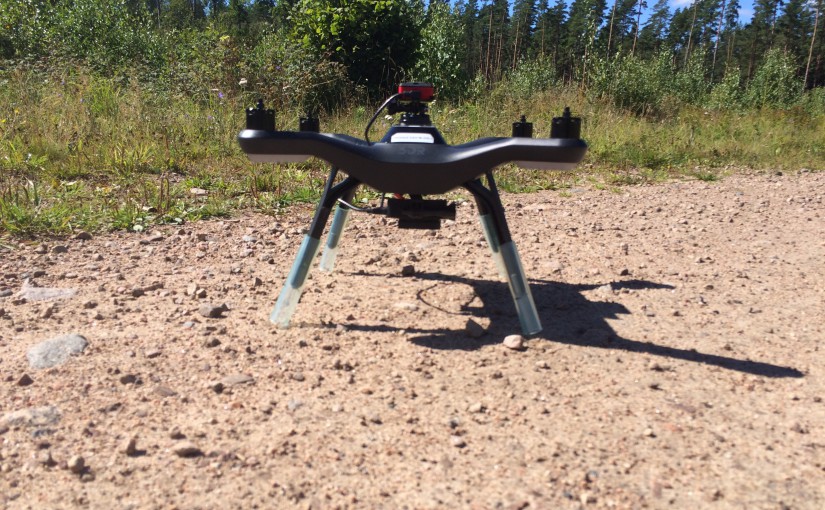
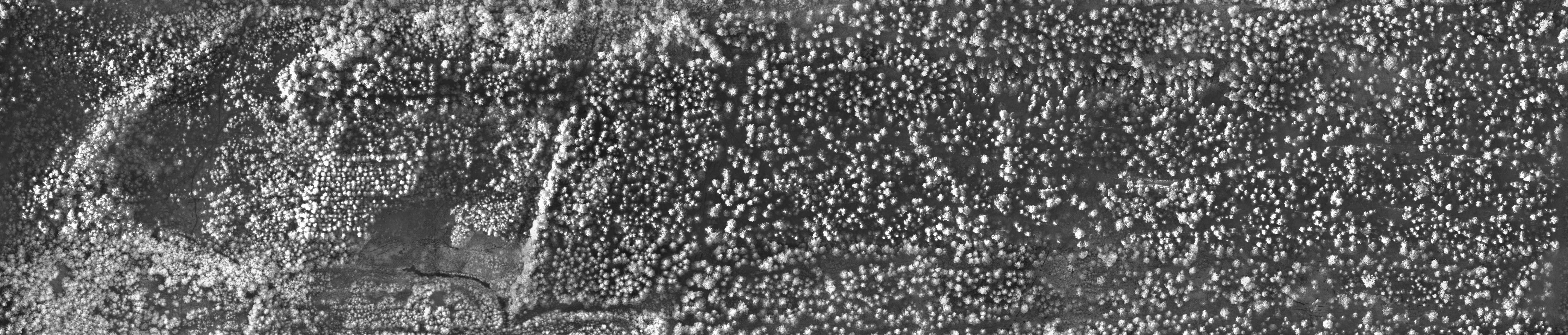
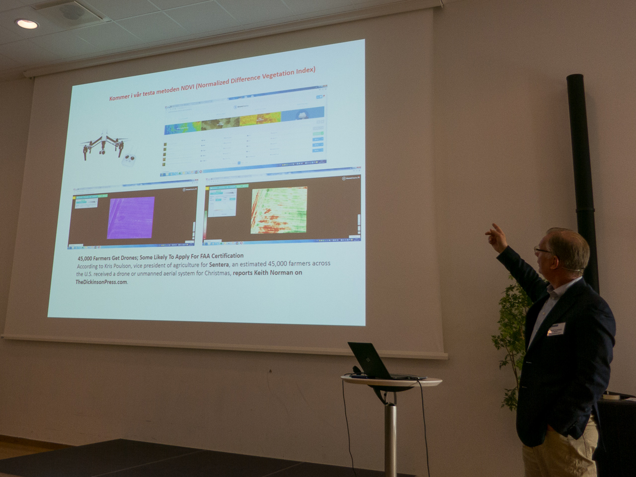
Two weeks ago, we did several flights with the lab’s new Parrot Sequoia multispectral camera. We have summarized how the camera can be mounted on a 3DR Solo drone. We also did a first quick 3D point cloud from the NIR photos:
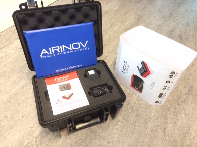
The drone optimized multispectral camera, Parrot Sequoia, just arrived to the lab today! The camera collect images in four defined wavelength bands as well as a normal RGB sensor. More information about the camera.
In contrast to many other users, we plan to use the camera to capture data of forest. As soon as we have some footage to show, we will publish here on rslab.se.
The camera captures images (1.2 Mpx) in the following wavelength bands:
Green 550 nm (40 nm bandwidth)
Red 660 nm (40 nm bandwidth)
Red edge (10 nm bandwidth)
Near infrared (40 nm bandwidth)
In addition to the four narrow wavelength bands, the Sequoia has a RGB camera with 16 Mpx resolution.
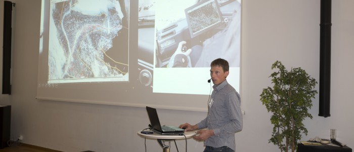
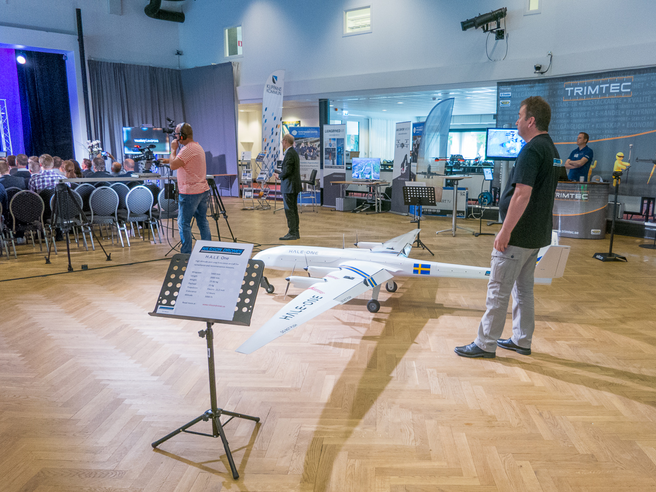
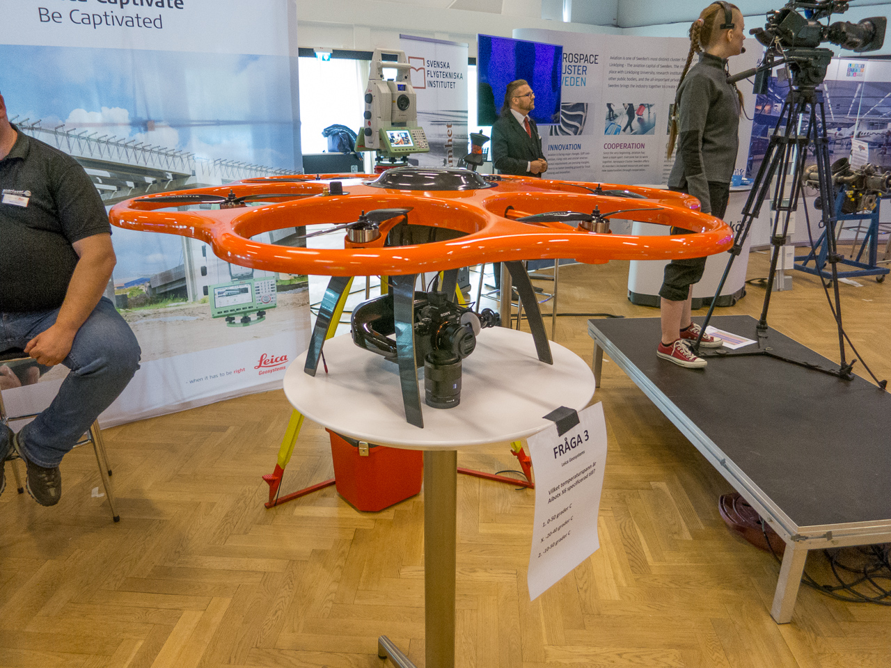
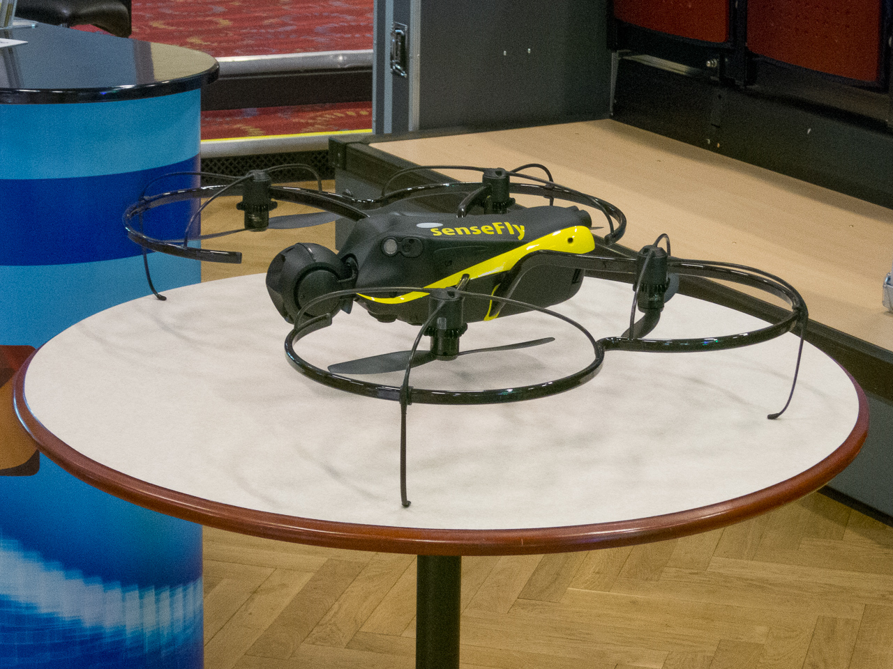
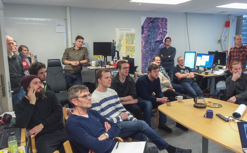
Mattias visited the UASForum Conference in Linköping, Sweden, on Tuesday and Wednesday (24-25 May). Mattias presented how drones can be used in forestry as well as how the SLU in Umeå have implemented drones in the education.
Mattias presented “Drones for smart forestry”. Photo: UASForumSweden.seNilsson Drones.CybAero, a large drone with a total weight up to 200 kg.Leica’s hexacopter.Rudolf owns a big farm and uses drones in many applications.SenseFly’s quadcopter.
Adrian Straker will tomorrow, Friday, present his master thesis “Comparison of forest fire severity classification models based on aerial images and Landsat 8 OLI/TIRS images of a forest fire area in central Sweden”.
Room: Årsringen, next to the Ljungberg lab
Time: Friday 8th April, 9.00 am
Welcome!
Next week, Edward and André will present their thesis.
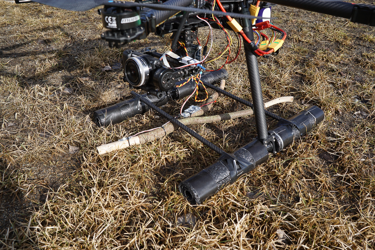
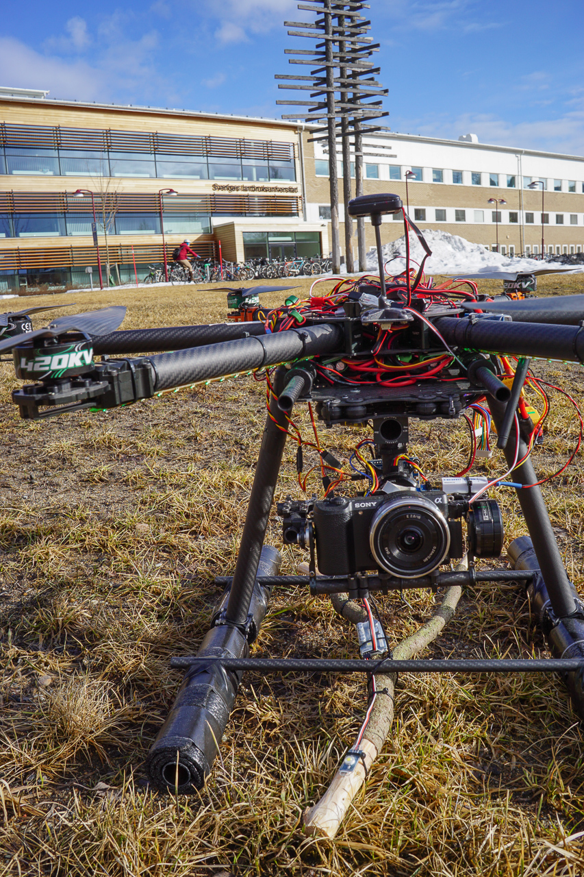
At the Ljungberg laboratory, we have started a project where we combine the traditional dowsing rod with latest drone technology. The goal is to improve the existing and important Depth to Water Map available online. At the Ljungberg lab, a teaching lab for advanced 3D remote sensing, we always aim to make a wide range of sensors available for our students – this project is a bold step in that direction.
[Swedish] I Ljungberglaboratoriet har vi startat ett projekt där vi kombinerar den traditionella och länge använda slagrutan med senaste drönar-teknik. Målet är att förbättra den befintliga och viktiga fuktighetskartan som finns på nätet. I Ljungberglabbet, ett undervisninglaboratorium för avancerad 3D fjärranalys, strävar vi alltid efter att ha ett stort antal sensorer tillgängliga för våra studenter och det här projektet är i linje med detta.
Edit 2016-04-04:
You probably understood that this was not a real project due to the publication date (April 1st)… but please contact us if you have ideas for possible use of drones and collaboration suggestions.
[Swedish] Förhoppningsvis förstod alla att detta inte var ett riktigt projekt då det publicerades 1 april… men vi tar gärna emot nya idéer på drönaranvändning och möjliga samarbeten.
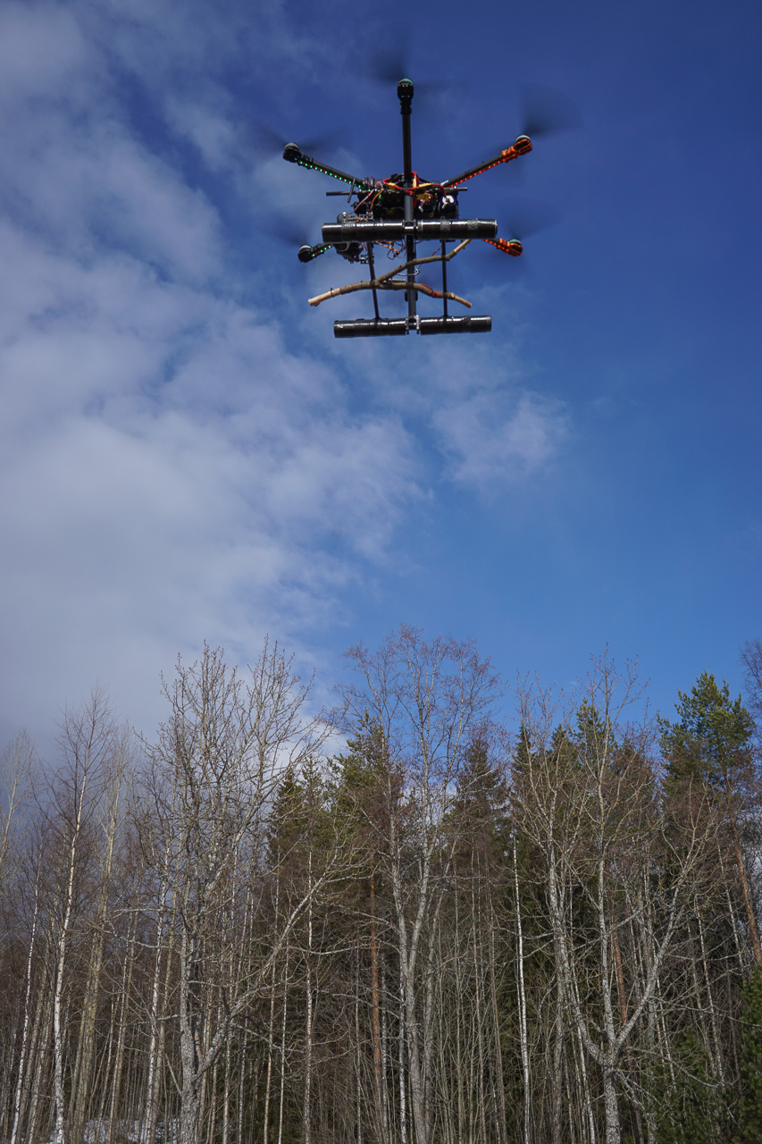
The lab’s hexacopter equipped with the dowsing rod.
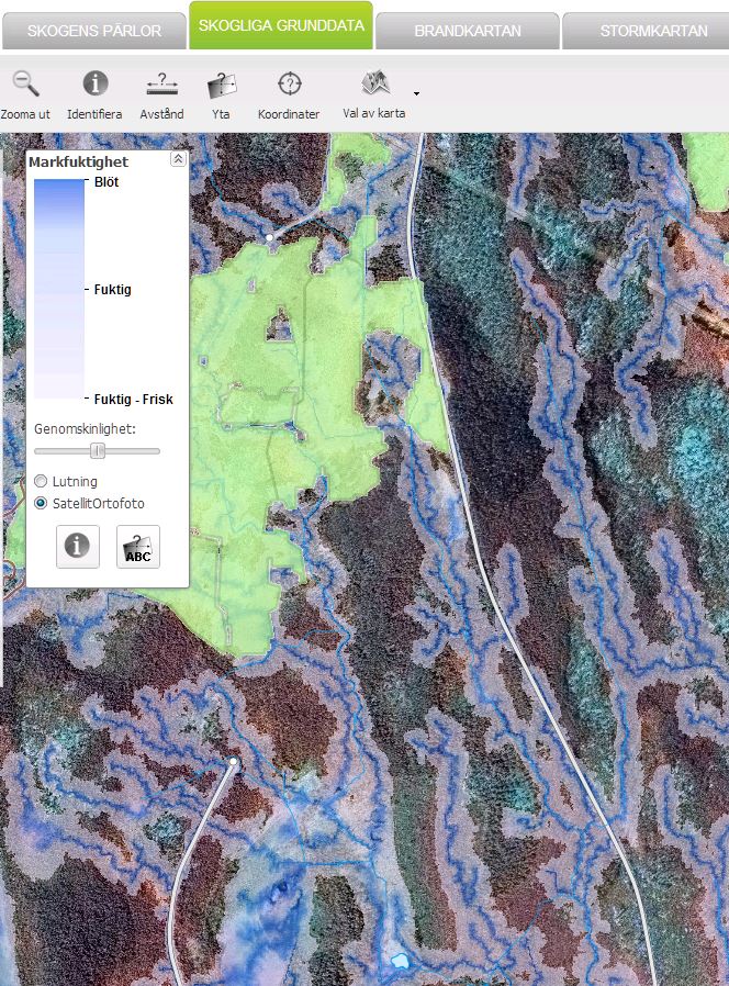
Collecting dowsing rod data from the forest area close to the university.The existing Depth to Water Map at Skogsstyrelsen. The goal of this project is to improve the map by using the traditional dowsing rod in combination with the latest drone technology.
The title might not tell you much about what this seminar is about… However, if you come to Ljungbergslaboratoriet on Thursday 17th March 14:30, Sebastian Schnell will tell you more about his work in the Advanced SAR-project.
On Thursday (18th Feb), Håkan Olsson, Professor in Remote sensing at SLU in Umeå, will give a seminar about remote sensing from 1930 until today. It is scheduled to 14:30 in Ljungbergslaboratoriet (1st floor in the SLU building).
This weeks seminar will be given by Inka Bohlin and Mats Nilsson. The title is: “Use of photogrammetric point cloud data together with field data from National Forest Inventory: possibilities and weaknesses”. Welcome to Ljungbergslaboratoriet on Thursday the 4th February at 14:30. The seminar is approximately 30 minutes including questions.
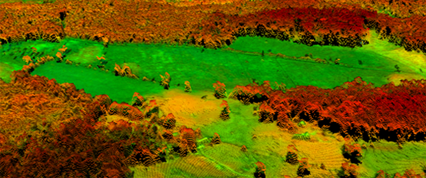
Photogrammetric point cloud of agricultural and forest landscape.