Terrestrial laser scanner

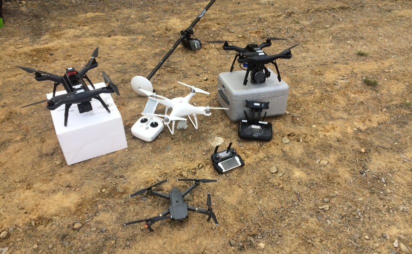
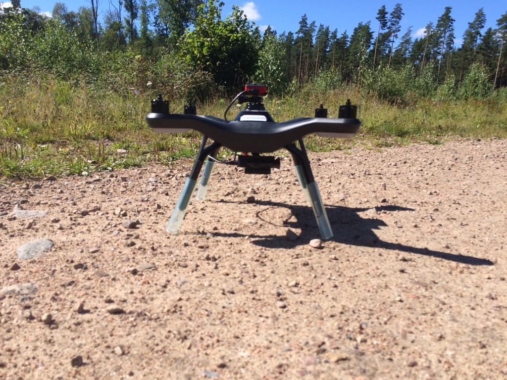
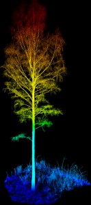
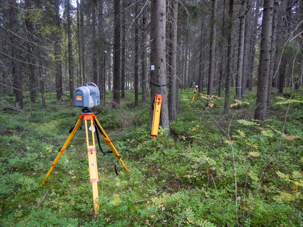
The lab has a Trimble TX8 laser scanner (from 2014). The scanner is used to collect accurate measurements of the ground and the tree stems. Here is an example of one birch that is cut out from a multiscan (several scans are merged into one dataset):

A birch consisting of 12 million 3D-points. This tree was cut from a larger area scanned with a terresterial laser scanner (TLS).

The scanner is mounted on a tripod and collects 1 million points every second. In three minutes a full scan is done with a point spacing of about 4 mm on 10 meters distance.

Multiscan where a sphere is mounted on the previous and the next scan location for georeferencing.
Example from a forest plot in Remningstorp. The points are colored by altitude and intensity.

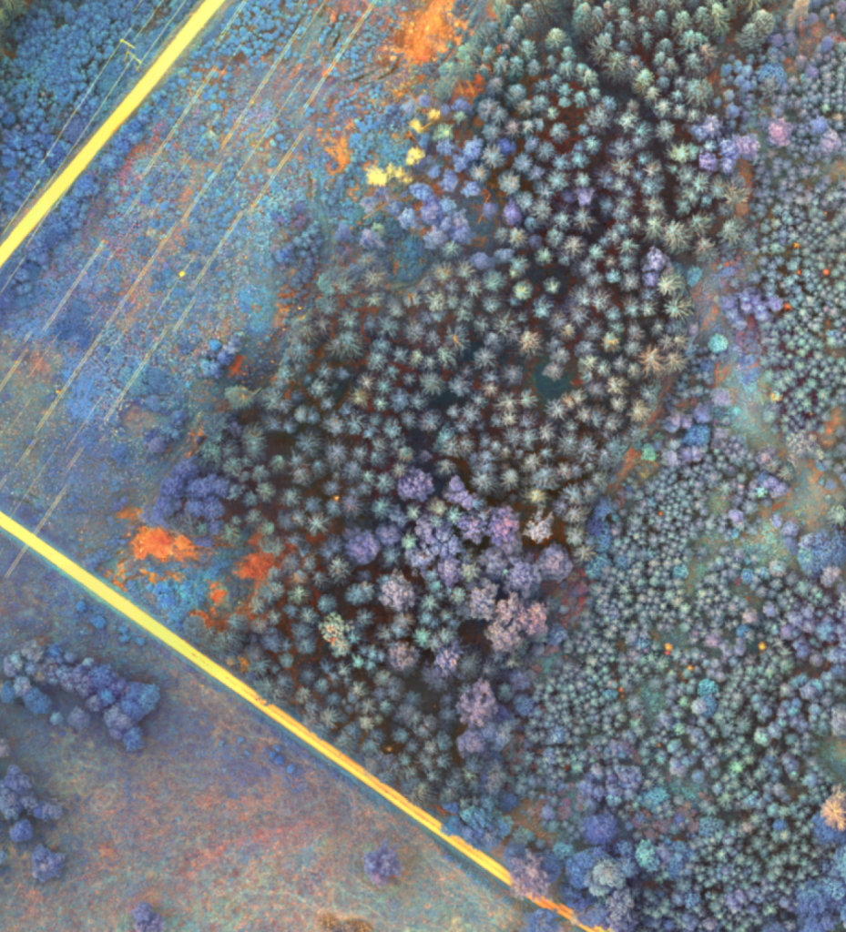
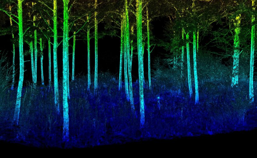
Fly through video of a plot in Remningstorp. 16 scan locations merged. Intensity and height above ground are merged in the coloring of the 3D-points.

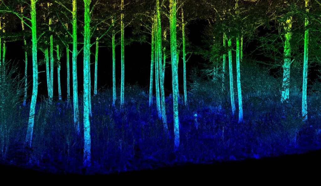
Fly through of another plot. Coloring of the 3D-points are from the intensity of each return.

Drones

The lab has several drones designed for different loads and purposes. Here is a list of the models we have:

  • 1 DJI Phantom 4 RTK (2019)
  • 2 Quadrocopter drone, 3DR Solo (2016)
  • 1 DJI Phantom 4 pro (2017)
  • 1 DJI Mavic pro (2017)
  • 1 DJI Mavic 2 pro (2018)
  • 1 Smartplanes Freja

We also have equipment to be used with the drones, for example:

  • 20 Ground targets (black/yellow chess board). Measured with RTK-GNSS and pointed out in photos in photogrammetry software.
  • Spray paint for Ground Control Points (GCP).
  • RTK base station

Here are some of the drones in a field test:

Parrot Sequoia

Parrot Sequoia is a small and light weight (72 g) multispectral camera made for drones. The camera has a synchronus global shutter with four spectral bands:

  • Green (550 nm)
  • Red (660 nm)
  • Red edge (735 nm)
  • Near infrared (790 nm)

The camera also has an irradiance sensor (36 g) that can be mounted on top of the drone to measure the ambient light. The sensor also includes a GPS and IMU module and a SD-card slot.

We have mostly used the camera mounted on our 3DR Solo drone (mounting instruction).

3DR Solo drone. Under the drone is the Parrot Sequoia camera and on top is the irradiance sensor.

Here is an example of an ortophoto over a forested area close to a road and power-line in Remningstorp:

The spectral calibration plate for the lab looks like this. Use the information about the reflectance when postprocessing in for example Agisoft Metashape Pro or Pix4D.