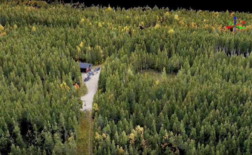
Flakaliden Research Park, where effects of climate and fertilization are studied, was surveyed by a drone taking about 700 pictures. The drone was equipped with a consumer camera (Sony a5100) and the images was processed to a very dense point cloud and very high resolution orthophoto (GSD 2.3 cm). A fly through of the point cloud is presented in the video. More information about the research at Flakaliden.