Skip to content
Ljungbergslaboratoriet

Ljungbergslaboratoriet

Remote Sensing laboratory

  • News
  • Workshops
  • Student projects
    • Bachelor thesis
    • Master thesis
    • PhD thesis
    • Design Build Test
    • Project work
  • Equipment
  • Software
  • Literature
  • Instructions / tutorials
    • Agisoft Photoscan pro
    • Parrot Sequoia on 3DR Solo
    • Pixhawk autopilot
    • Terrestrial laser scanning
    • Trimble GeoXR 6000
    • Topcon GRS-1
  • Seminars
  • Data
  • Media
  • Code examples
  • Virtual Reality
    • PointCloud XR
  • About Ljungbergslaboratoriet

Contact

ljungbergslaboratoriet@slu.se

Jonas Bohlin, SLU, Umeå

Software

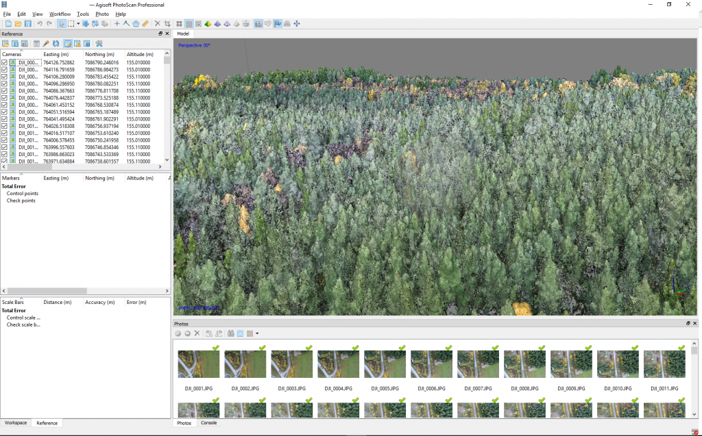
The lab also offers several softwares for analysis of the 3D-data. More information about the softwares available in the lab.

Agisoft Photoscan pro is a commonly used software in the lab. Photos taken with a drone turns into 3D point clouds from which you can measure for example tree height.
Posted on October 18, 2017Author MattiasCategories Equipment

Post navigation

Previous Previous post: Thermal camera
Next Next post: 75″ TV for presentations
Proudly powered by WordPress