Skip to content
Ljungbergslaboratoriet

Ljungbergslaboratoriet

Remote Sensing laboratory

  • News
  • Workshops
  • Student projects
    • Bachelor thesis
    • Master thesis
    • PhD thesis
    • Design Build Test
    • Project work
  • Equipment
  • Software
  • Literature
  • Instructions / tutorials
    • Agisoft Photoscan pro
    • Parrot Sequoia on 3DR Solo
    • Pixhawk autopilot
    • Terrestrial laser scanning
    • Trimble GeoXR 6000
    • Topcon GRS-1
  • Seminars
  • Data
  • Media
  • Code examples
  • Virtual Reality
    • PointCloud XR
  • About Ljungbergslaboratoriet

Social media

  • View RemoteSensingSLU’s profile on Facebook
  • View UCIjkxj8mZXD-RuIiBY1Ta0Q’s profile on YouTube

Contact

ljungbergslaboratoriet@slu.se

Jonas Bohlin, SLU, UmeƄ

Data

  • Terrestrial laser scanning

    Terrestrial laser scanning

  • Remningstorp drone flights 2016

    Remningstorp drone flights 2016

  • Drone images, view on your screen

    Drone images, view on your screen


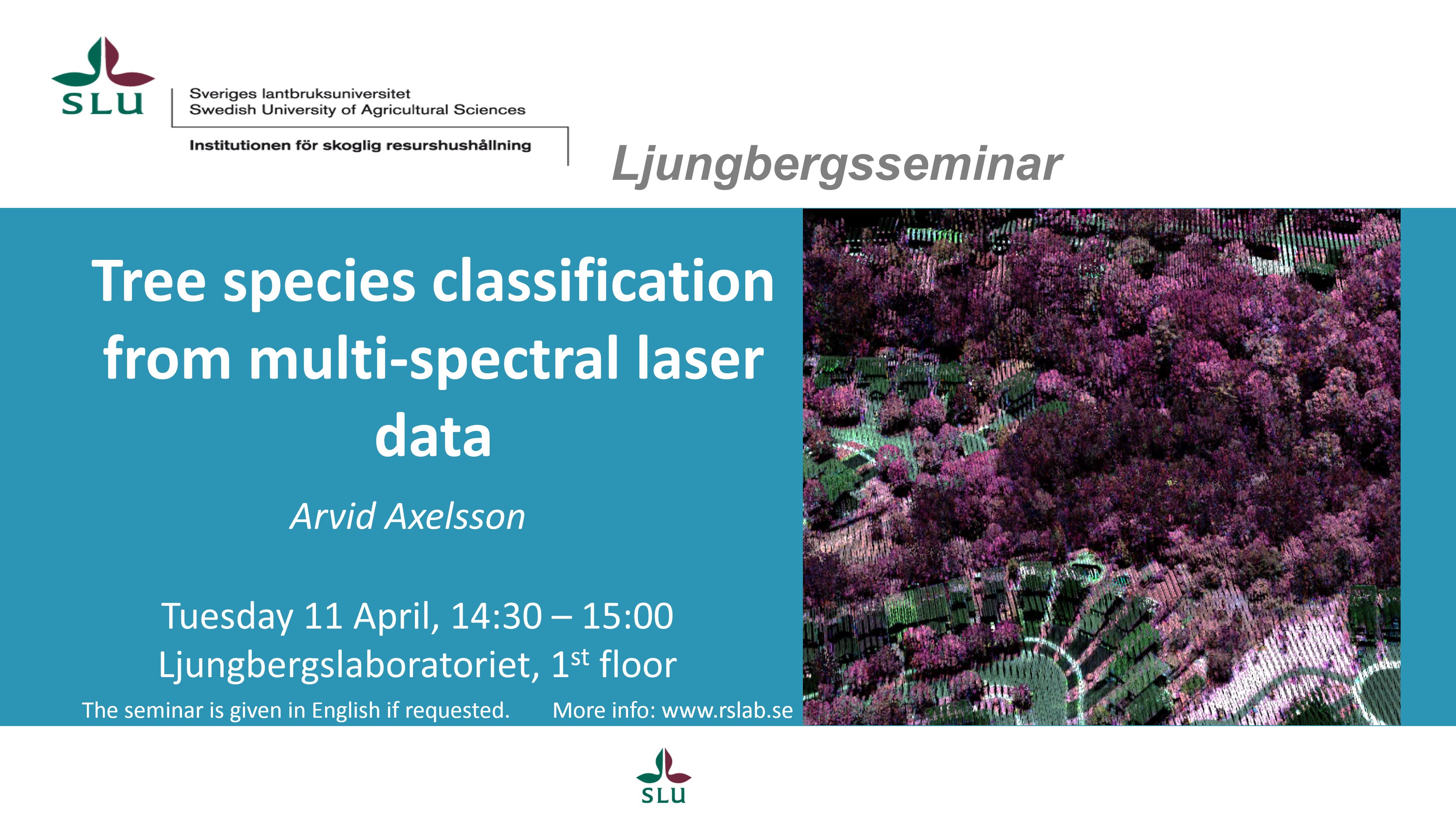
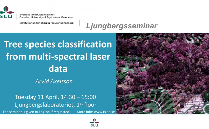
Seminar: Tree species classification using multi-spectral Lidar

170411_Ljungbergsseminarie_ArvidAxelsson

Arvid Axelsson will give a presentation on his on-going work with tree species classification using multi-spectral lidar.

Share this:

  • Twitter
  • Google
  • LinkedIn
  • Facebook
Posted on April 11, 2017February 26, 2018Author Jonas BohlinCategories News

Post navigation

Previous Previous post: World leading lab for 3D remote sensing!
Next Next post: Master thesis presentation: Control Assessment Using Drones
Proudly powered by WordPress