If you would like to receive any of the following video clips or images in high resolution, please contact Mattias Nyström.
Forest area in 3D
This area was flown in autumn 2016 with 3DR Solo drone. The camera was a Sony a5100 with 20mm lens.
Winter landscape in 3D
Photogrammetric point cloud from drone images. Flown on 15th February 2016 at an altitude of 120 m above ground.
Summer landscape in 3D
Photogrammetric point cloud from drone images. Flown on 28th October 2015 at an altitude of 120 m above ground.
Ground based laser scanning
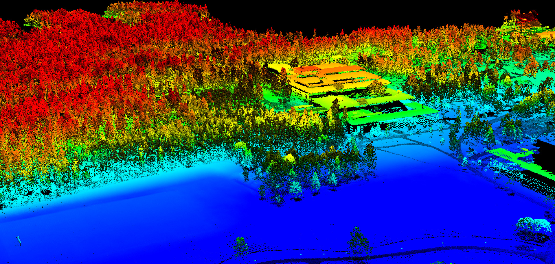
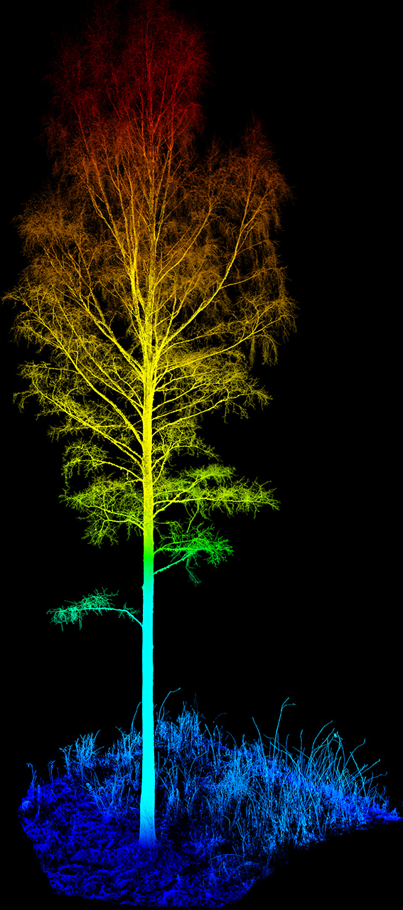
Laser scanning data collected using a Trimble TX8 ground based laser scanner. The scanner measures points in its surrouding by emitting laser light. The scanner can read 1 million points per second! The clip below consists of 16 co-registred scans and a total of 1’716’818’896 measured points.
Screen shots of data