
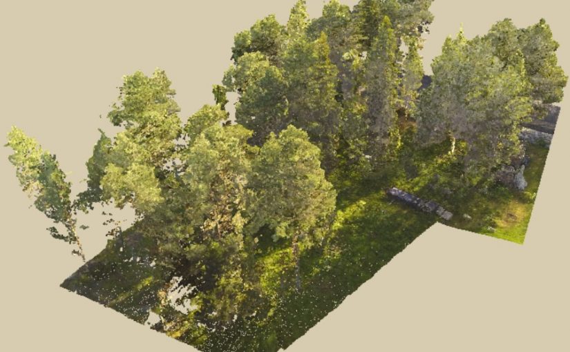
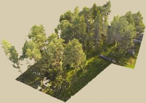
The data used to create this point cloud was collected using a drone flown at 60 m above ground. A GoPro Hero 3 camera with a modified lens was used to take the photos. The software Agisoft Photoscan Pro was used to generate the 3D points.
In the web-viewer, you can under “Material” change “Select Attribute” to “RGB” if you want to color the point by the color from the photos.