Field visit RS course: Testing the new GeoSLAM hand laser scanner

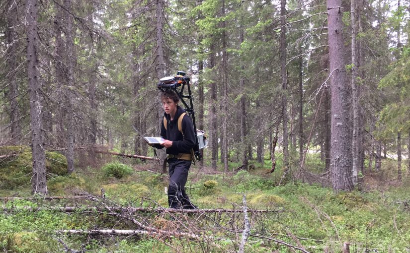
In the Remote sensing and forest inventory course we allways has a demo of different sensors and platforms avialble for the students in the Ljungberg laboratory. This year we brought the new handheld laserscanner from GeoSLAM, in addition to the drones (camera and Lidar) and terrestrial laser scanner.

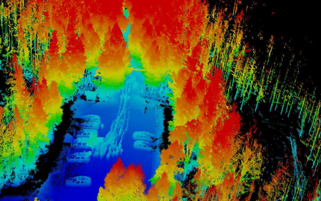
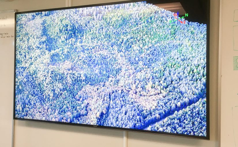
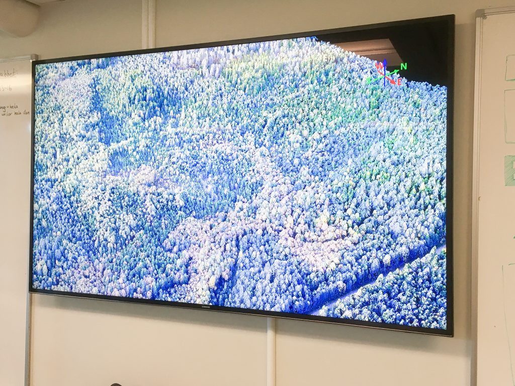
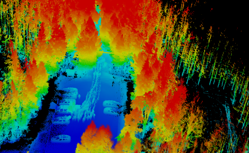
The image is a view of the 3D point cloud generated from the GeoSLAM. The handheld scanner scans everything around as you move thru the forest. Normally the post-processing software removes the person carrying the scanner, but in our case we had 15 students following the scanner, resulting in a line of ghosts in the data.

The demo of the different sensors and platforms are an important part of the course as it sets the frame for what the students can play with in their final project of the course.
Point clouds in virtual reality

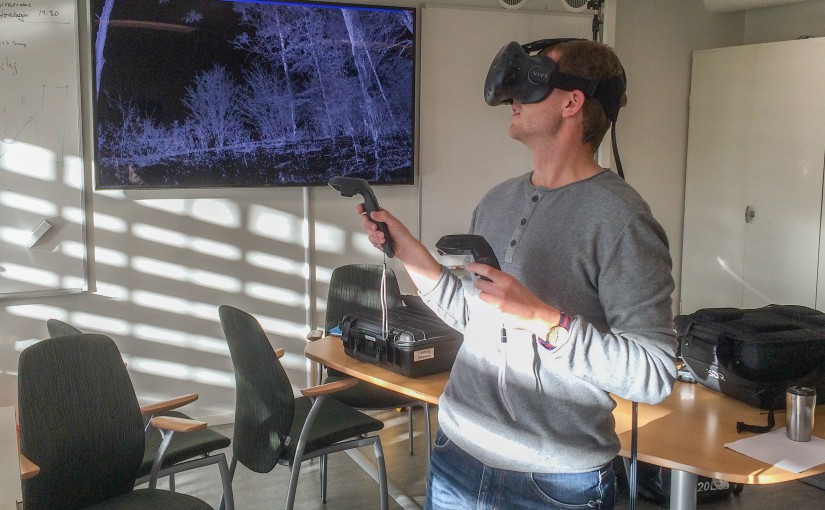
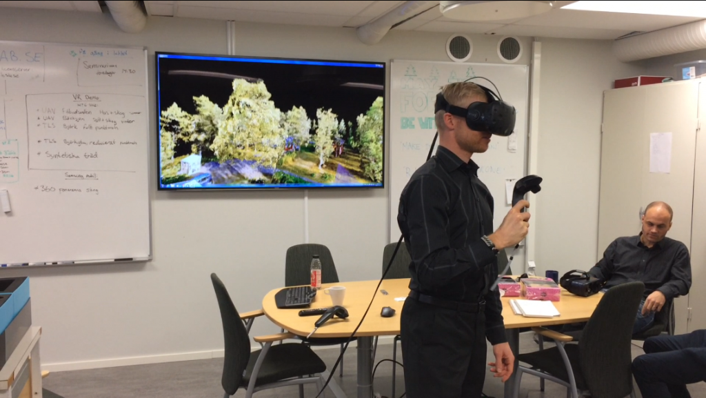
The lab has developed a software to view and analyze point clouds in Virtual Reality. The application is written in Unity and supports only HTC Vive. We have also released the source code we have written ourself and you can modify and add support for other headsets.

The application will right now not be further developed by us, but feel free to download the source code and contribute! Please add a comment on the repository if you continue to develop the application.

Read more about the application here and about the original plan for our development here.

Workshops on Wednesdays

The 13th of February we will start with the first workshop for this semester. Previously we called this open-lab, but now we prefer to call it workshops. The idea with the workshops is start at 13:00 with a short introductory presentation of a remote sensing topic, for example use of drones in forestry. The presentation is 15-20 minutes long and after this the lab is open for you to hands on experiment and work with remote sensing data. We will always supply data for you to experiment with, but you can of course bring your own. Or use the labs equipment to collect new data. The lab closes at 15:00.

The topic for this first workshop is airborne laser scanning.

More information about the workshops.

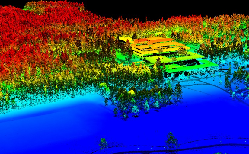
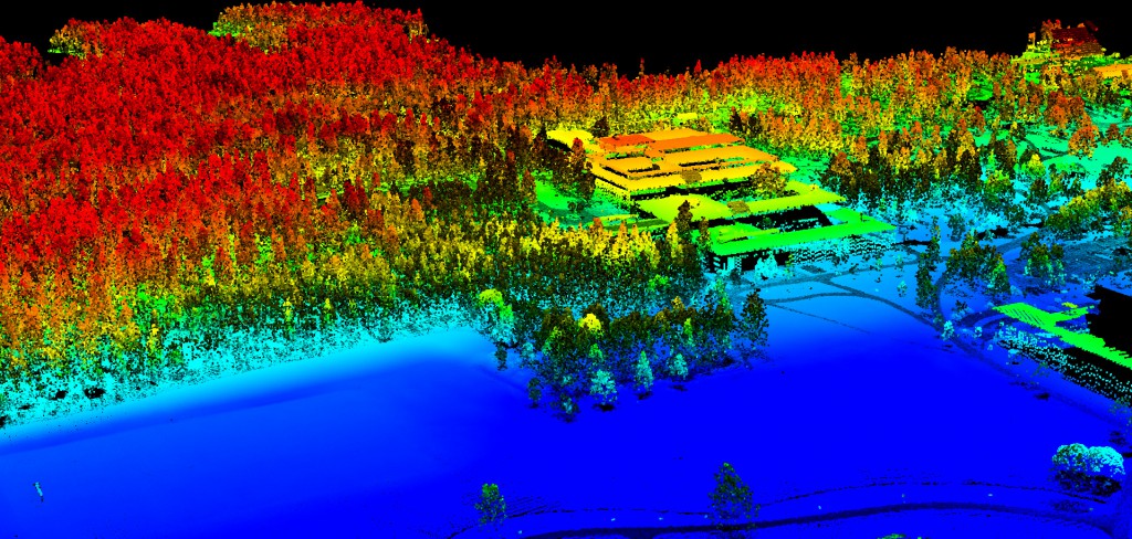
Airborne laser scanning of the SLU building in Umeå.

Beta release of PointCloud XR – A free viewer for point clouds in Virtual Reality

Today we release the first beta version of our application to view and analyze point clouds in Virtual Reality. We have named the application PointCloud XR and you can read more about the development and download PointCloud XR. Please add a comment on our Facebook page about your thoughts after you have tried it!

In the current version (2018-12-14) you can do the following:

  • Open points in LAS 1.2 format.
  • Depending on your hardware you can open about 15 million points and move around fluently.
  • You can “fly” around in the point cloud using your hand controller.
  • Change the size of the points.
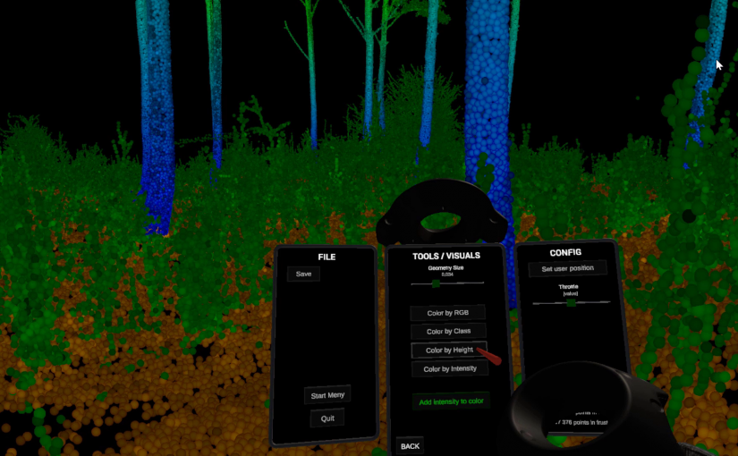
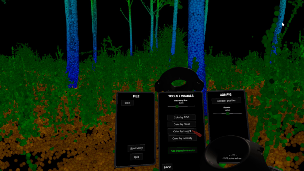
  • Color the points by RGB, Class, Height or Intensity. The intensity can alway be blended with either of the other coloring modes.
  • Measure distance. You can snap to points and restrict measurement in y-direction or in the xz-plane.
  • Select points using a sphere. The selected points can the be removed.
  • Save the edited point cloud in PCXR-format. LAS exporter is not implemented yet but we are working on that.
  • Set a new start position. This will only work with a file saved in PCXR-format.
  • Change the throttle (how fast you are flying when you press the trigger).
Screen shot inside the Virtual Reality application.

Here is a clip when a few students try an earlier version of the application.

Cameras

We have several different cameras that can be used either from air (drone) or from the ground. These are the available cameras:

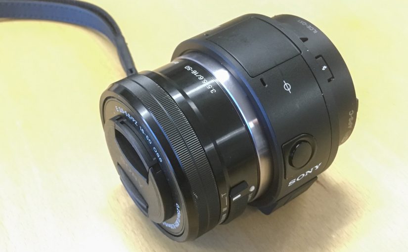
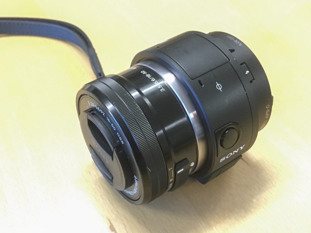
Sony QX1. This camera is mounted in a gimbal and mounted to the lab’s 3DR Solo drone.