Field visit RS course: Testing the new GeoSLAM hand laser scanner

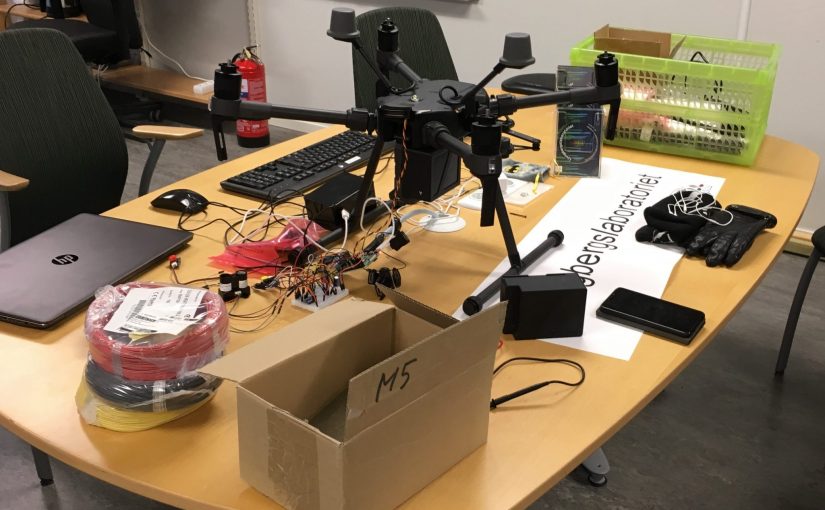
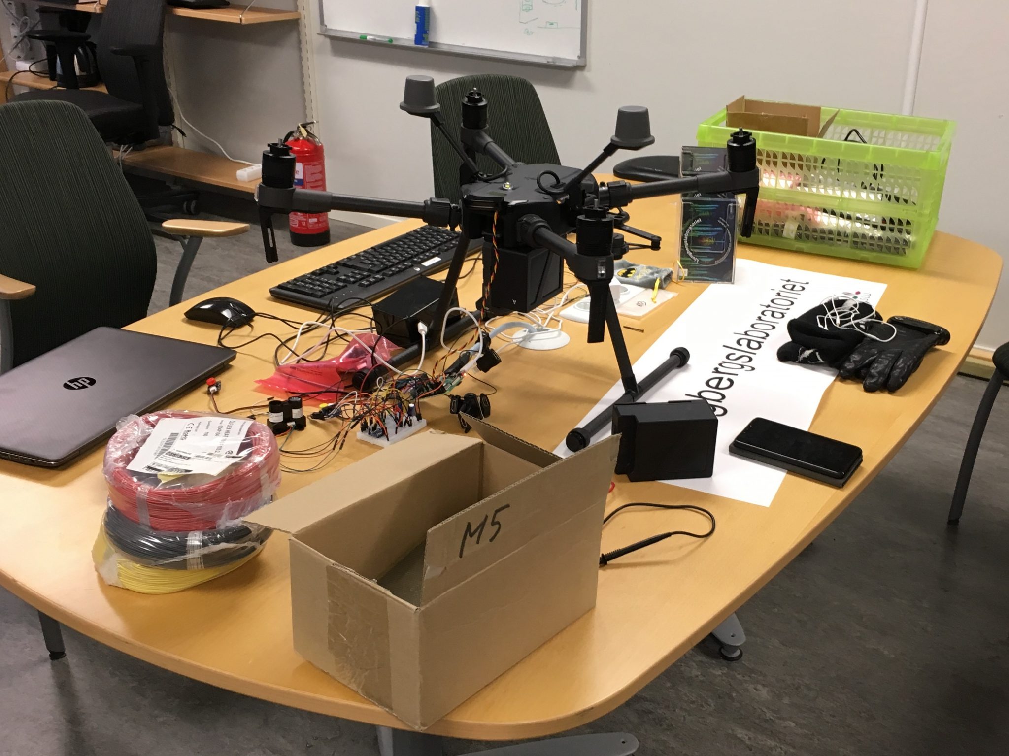
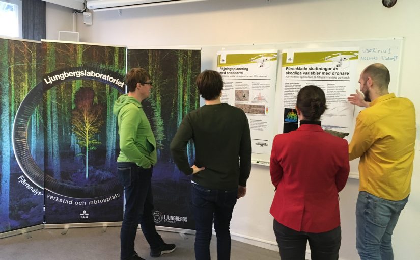
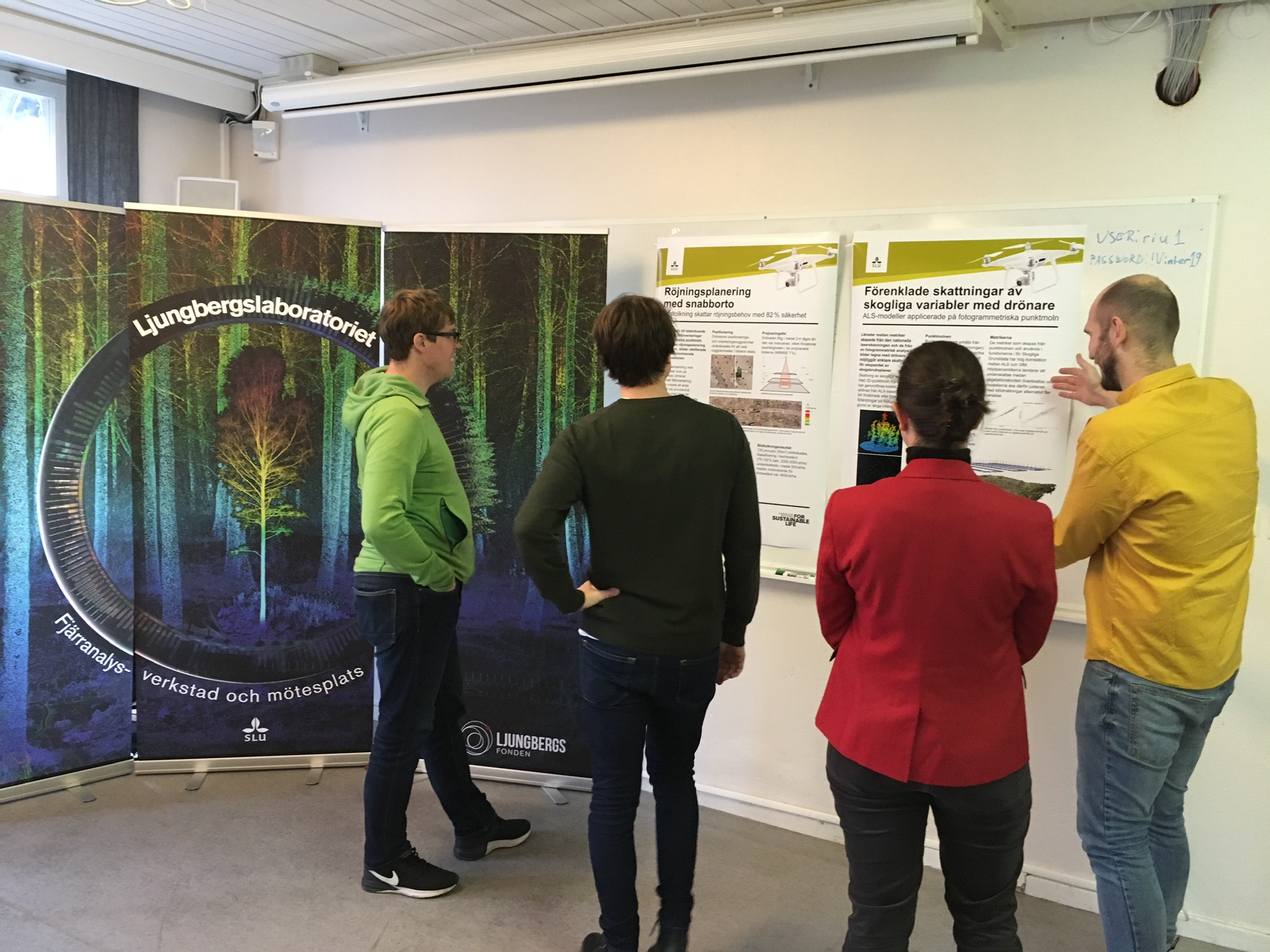
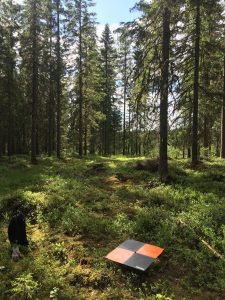
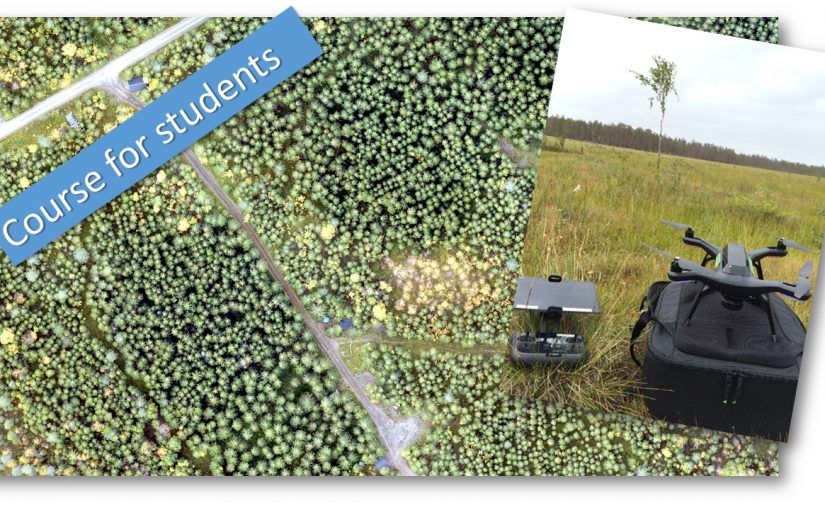
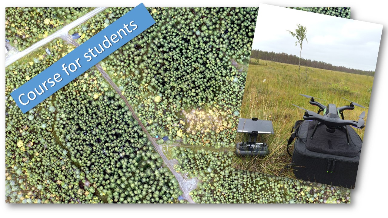
In the Remote sensing and forest inventory course we allways has a demo of different sensors and platforms avialble for the students in the Ljungberg laboratory. This year we brought the new handheld laserscanner from GeoSLAM, in addition to the drones (camera and Lidar) and terrestrial laser scanner.

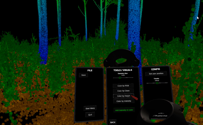
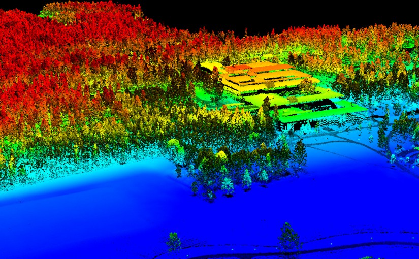
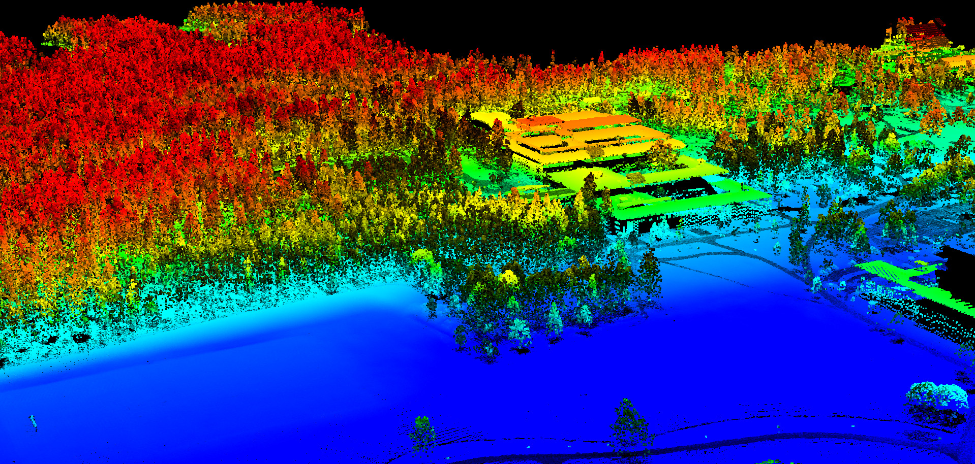
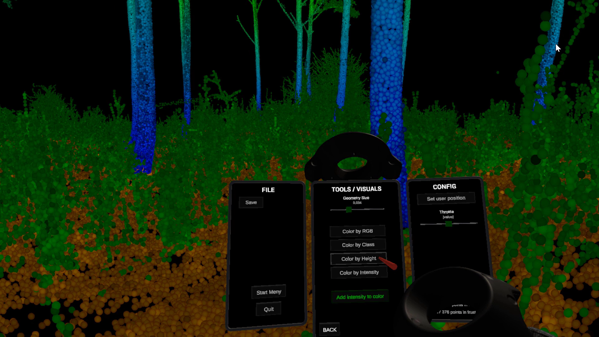
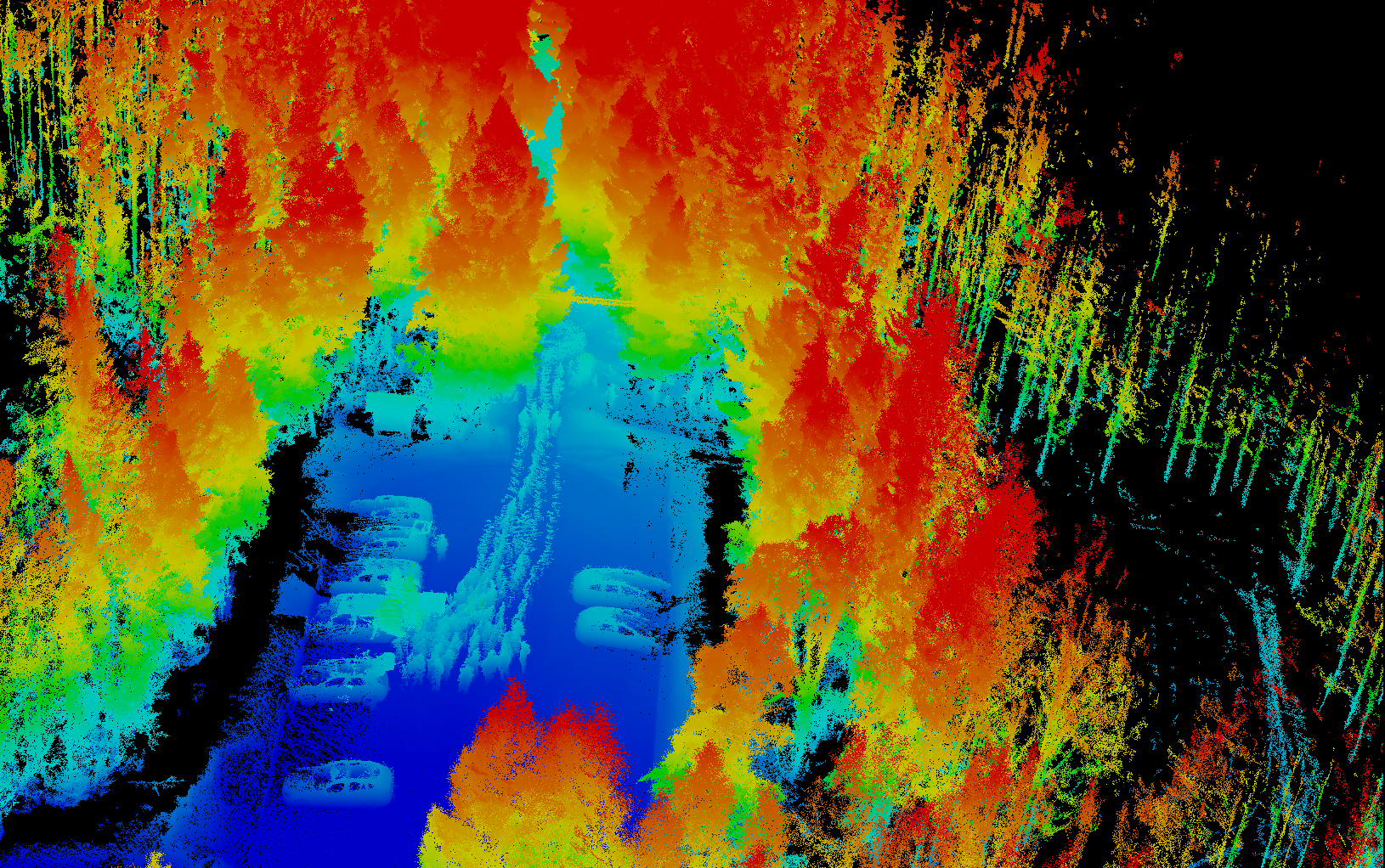
The image is a view of the 3D point cloud generated from the GeoSLAM. The handheld scanner scans everything around as you move thru the forest. Normally the post-processing software removes the person carrying the scanner, but in our case we had 15 students following the scanner, resulting in a line of ghosts in the data.

The demo of the different sensors and platforms are an important part of the course as it sets the frame for what the students can play with in their final project of the course.

SLU internal seminar on new regulations for flying drones

From the 1st of July there will be new regulations for operating drones in the air space. The regulations will be the same within EU. In order to inform the drone users within the university and to discuss how we should implement the new regulations in the organisation we had a internal seminar, however the information could be of interest to others so we published video of the seminar here.

A pdf of the presentation can be downloaded here: 200529 New drone regulations seminar


Albedometer drone project ongoing

As part of a Design-Build-Test course, five engineering students are building a albedometer sensor system for the new drone in the Lab. The albedometer will consist of two MS-80U pyranometers from EKO instruments and a lidar unit (LIDAR Lite v3) from Garmin.

Albedometers are mostly used to measure the reflectance of earths surface, using two pyranometers: one facing up towards the sky and one facing down towards the surface. From the ratio of incoming and reflecting radiation the albedo can be calculated. Albedo is often used in different climate models but is usually measured using a fixed sensor or a mobile sensor attached on a pole carried over the surface of interest. With a drone borne albedometer we can collect data over forests and other vegetation types without walking in it and also cover larger areas.

The project will be finished in mid January 2020.

Students present Master thesis projects at RIU conference

Victor Kingstad och Mårten Tovedal presented their master thesis projects at the RIU conference in Skinnskatteberg, 13-14 November. The conference is an annual event gathering people from forest planing and forest inventory. Both students are doing drone based forest inventory. Victors topic is forest cleaning need assessment using rapid orthophotos. Mårten is looking at methods applying models from national ALS (airborne laser scanning) forest mapping to point clouds generated from drone imagery, with the aim of omitting new field inventory.

Point clouds in virtual reality

The lab has developed a software to view and analyze point clouds in Virtual Reality. The application is written in Unity and supports only HTC Vive. We have also released the source code we have written ourself and you can modify and add support for other headsets.

The application will right now not be further developed by us, but feel free to download the source code and contribute! Please add a comment on the repository if you continue to develop the application.

Read more about the application here and about the original plan for our development here.

Permanent ground control points in Innertavle

Placing ground control points (GCP) when performing flights with drones can be a very time consuming task which is why we now have placed permanent GCPs around the property at Innertavle. There is a total of 11 GCPs placed around the boarder of the property. The GCPs helps in the post process by being able to reference to the location of these points when matching up the rest of the points from the data.


Workshops on Wednesdays

The 13th of February we will start with the first workshop for this semester. Previously we called this open-lab, but now we prefer to call it workshops. The idea with the workshops is start at 13:00 with a short introductory presentation of a remote sensing topic, for example use of drones in forestry. The presentation is 15-20 minutes long and after this the lab is open for you to hands on experiment and work with remote sensing data. We will always supply data for you to experiment with, but you can of course bring your own. Or use the labs equipment to collect new data. The lab closes at 15:00.

The topic for this first workshop is airborne laser scanning.

More information about the workshops.

Airborne laser scanning of the SLU building in Umeå.

Beta release of PointCloud XR – A free viewer for point clouds in Virtual Reality

Today we release the first beta version of our application to view and analyze point clouds in Virtual Reality. We have named the application PointCloud XR and you can read more about the development and download PointCloud XR. Please add a comment on our Facebook page about your thoughts after you have tried it!

In the current version (2018-12-14) you can do the following:

  • Open points in LAS 1.2 format.
  • Depending on your hardware you can open about 15 million points and move around fluently.
  • You can “fly” around in the point cloud using your hand controller.
  • Change the size of the points.
  • Color the points by RGB, Class, Height or Intensity. The intensity can alway be blended with either of the other coloring modes.
  • Measure distance. You can snap to points and restrict measurement in y-direction or in the xz-plane.
  • Select points using a sphere. The selected points can the be removed.
  • Save the edited point cloud in PCXR-format. LAS exporter is not implemented yet but we are working on that.
  • Set a new start position. This will only work with a file saved in PCXR-format.
  • Change the throttle (how fast you are flying when you press the trigger).
Screen shot inside the Virtual Reality application.

Here is a clip when a few students try an earlier version of the application.

Course in Drone based Inventory, part 2.

Now we continue with the second half of the course. The first part gave an overview of drone systems and regulations as well as drone flying and flight planning. Now we continue with processing collected images to geographic data, e.i. ortho images and 3D point clouds and then how those products can be transformed into forest data and the current use in forestry.

Schedule:

Wednesday 19th of September, 13 – 16 pm. Stereo-photogrammetry, production of ortho image mosaics and 3D point clouds.

Wednesday 26th of September, 13 – 16 pm. Estimation of forest variables and use of drone in forestry.

Applications to the course should be sent to jonas.bohlin@slu.se latest on September 18th. The amount of students on the course is limited and students how have taken the first part have priority.

Course in Drone based Inventory, part 1.

The course aim is to provide students with knowledge how to conduct drone based image acquisition and forest inventory. An introduction will be given on drone systems and regulations as well as practical knowledge on how to operate drones to acquire images for mapping.  The first part will focus on getting the images. The second part of the course, in the autumn, will be on data processing to get ortho-mosaics, 3D models and extract forest information.

Schedule:

Wednesday 23th of May, 13 – 16 p.m. Drone and camera systems and regulations. In the Ljungberg lab.

Wednesday 30th of May, 12.30 – 17 p.m. Field trip to fly drones and acquire images.

Applications to the course should be sent to jonas.bohlin@slu.se latest on May 21st. The amount of students on the course is limited.